

The Old Farmer’s Almanac calls the coming winter mostly mild across the country, but it carves out a cold pocket that runs from central New England through the Appalachians and into the Ohio Valley, with Hawaii also cooler than normal. The almanac’s 2026-27 winter outlook says much of the rest of the nation should land near normal or warmer.
A Cold Pocket Inside a Mild Forecast

The almanac’s extended forecast describes colder-than-usual temperatures from central New England south through the Appalachians and into the Ohio Valley, according to the Old Farmer’s Almanac winter extended forecast. Hawaii is forecast to run cooler than normal as well, though the almanac says not dramatically so.
Within the Northeast, the forecast splits by latitude: temperatures are expected to run colder than normal in the southern part of the region and milder in the north. The same split shows up in this recap of the Old Farmer’s Almanac’s mostly mild winter call, and a cozy-season read on simple crafts for a hygge winter suits the cold stretches.
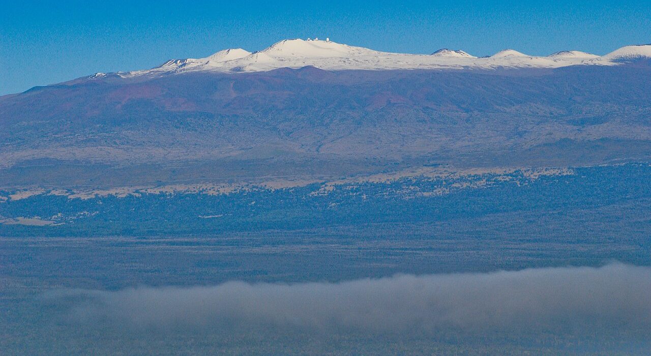
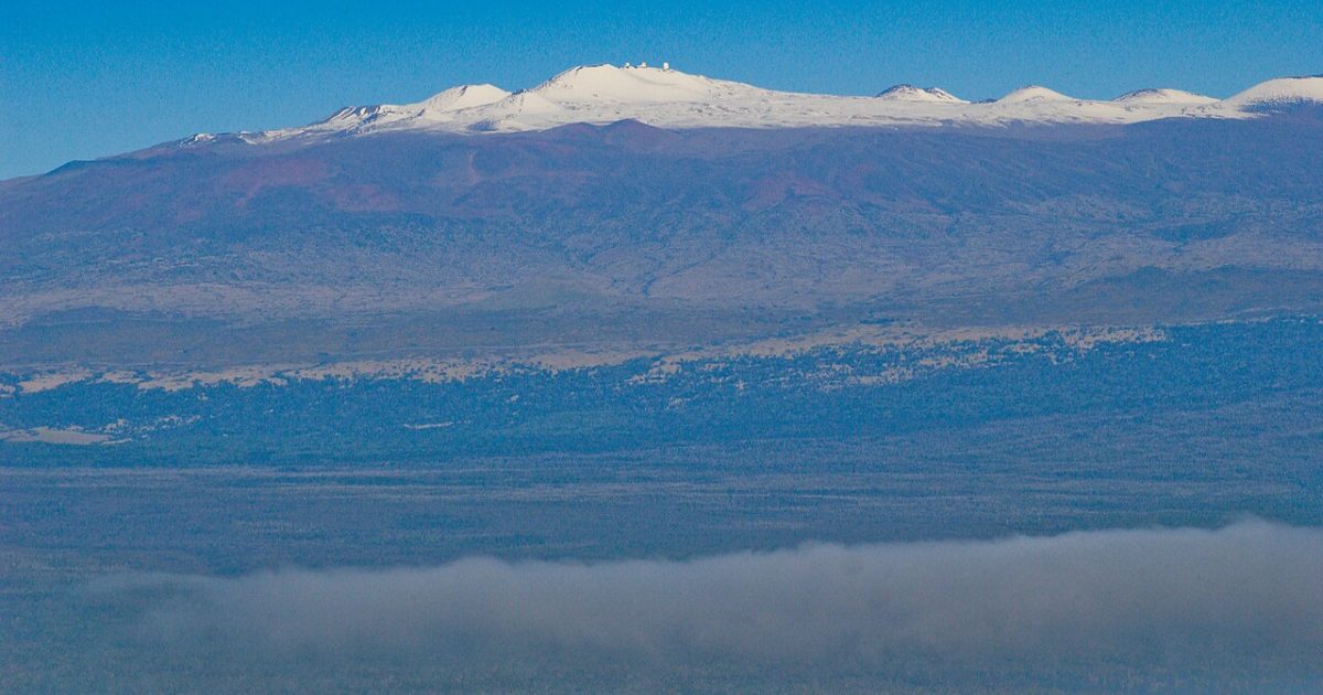
Hawaii gets its own line in the outlook. The almanac lists the islands as cooler than normal with above-normal rainfall, and USA Housing Information adds that the rain is expected to be heaviest in eastern areas of the state.
When the Coldest Days Are Expected
A summary from Watchers reports that the almanac issued its outlook on Aug. 27, 2026, and lays out the timing region by region. The southern Northeast is expected to see below-normal temperatures and above-normal snowfall, with the coldest periods in early and mid-January.
The Appalachians are forecast to be below normal on temperature too, with the coldest stretches in mid-January and mid- to late February. The Ohio Valley is expected to be colder than normal, with the coldest periods in mid- and late January. Readers in those areas can see how the almanac breaks down the dates in a post on when the coldest periods arrive, along with a look at odd American traditions, of which almanac-watching is arguably one.
For snow, the almanac lists central New England through the Appalachians, the Intermountain region, the Pacific Northwest and Alaska as snowier than normal, according to the extended forecast. Its snowiest periods for the Northeast are mid- and late December, mid-January, and early and late March. Ohio Valley readers can compare the date ranges with a post on the Ohio Valley turning colder than usual, while anyone heading out of the cold for the holidays might browse carry-on suitcases worth packing.
Snow in the Appalachians and Ohio Valley
The Appalachians face above-normal snowfall, especially in the north, and the almanac’s snowiest periods there are mid-January and early and late February. Newsweek’s look at the almanac’s snow map says the Appalachians face some of the harshest conditions of the season, especially in mid-January and February.
Precipitation varies inside the cold pocket. The extended forecast puts Appalachian precipitation below normal and the eastern Ohio Valley above normal, while the northern Northeast is expected to see below-normal snowfall. Planning for the Appalachian cold also comes up in a guide to Appalachian winter hitting hardest in January and February, while a nostalgic look at breakfast classics that deserve a comeback suits cold mornings.
Why the Rest of the Country Looks Milder
The almanac points to a strong El Nino that has returned and is expected to continue through winter. It says strong El Nino winters often favor milder U.S. temperatures and wetter conditions in parts of the West and South.
Other signals include a waning Solar Cycle 25, a warm Atlantic pattern with a weakening cool Pacific pattern, and a possibly positive Indian Ocean Dipole that could strengthen the Pacific jet stream. A possible southward shift of the polar vortex could bring colder Canadian air into the United States, the almanac adds.
Newsweek reports that the almanac’s editor-in-chief, Carol Connare, summed up the outlook by saying winter will not look the same everywhere. On the milder side of the map, USA Housing Information notes that Florida, Texas, Oklahoma, the Southeast, the High Plains and the Desert Southwest are among the areas expected to run warmer, with the Desert Southwest also drier.
How Much Weight to Give a Long-Range Outlook
Long-range almanac outlooks are broad. Watchers points out that NOAA’s Climate Prediction Center said in August that El Nino was strengthening and had a greater than 90 percent chance of becoming very strong. Its outlook favored above-normal winter temperatures across the northern United States, which differs from the almanac’s colder call for the southern Northeast, the Appalachians and the Ohio Valley.
The almanac says it combines solar science, climatology, meteorology and historical patterns, and that no single climate signal determines the winter pattern, according to Watchers. Both the almanac and NOAA agree on one thing, a strengthening El Nino, even where their temperature calls differ.
The Climate Prediction Center outlook is probabilistic and does not give region-by-region snowfall forecasts, Watchers adds, so the almanac’s snowfall periods are not confirmed by NOAA. USA Housing Information stresses that long-range outlooks are planning tools rather than promises, and that official short-term forecasts should guide specific decisions.
Get stories like this by email. Sign up for Crafting Your Home.
This article was produced with AI assistance and edited for accuracy against the sources linked above.
Image: K. Pu’uohau-Pummill/International Gemini Observatory – CC BY 4.0/Wikimedia Commons
