


The post El Niño Winters Look Very Different Depending on Where You Live — Here’s What to Expect in Your Region first appeared on Crafting Your Home
El Niño affects different parts of the United States in different ways. In one region, it may mean steady rain and flooding; in another, it may bring a milder winter with less snow. The difference depends on how El Niño shifts the Pacific jet stream and changes where winter storms travel.
For the 2026–27 winter, forecasters expect a very strong El Niño to push the jet stream farther south and east across the country. That favors warmer conditions across much of the northern United States, wetter weather across much of the South and East Coast, and drier conditions in parts of the northern Rockies and Great Lakes.
Pacific Northwest and Northern Rockies
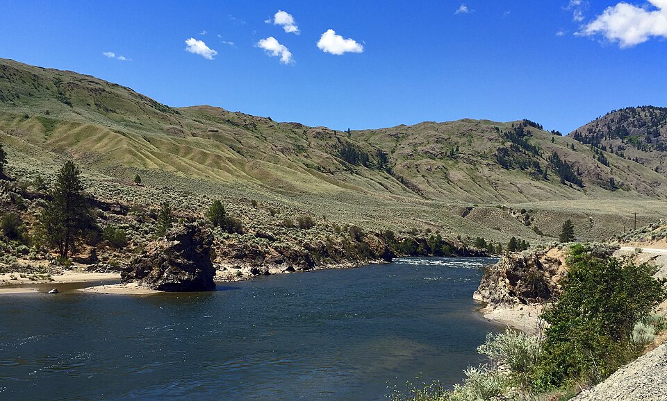
Precipitation is expected to be below average in parts of the northern Mountain West. Forecasters also expect drought to develop or worsen in portions of the northern Rockies, northeastern Oregon and eastern Washington.
For residents, that can mean less reliable mountain snowpack, earlier snowmelt and more precipitation falling as rain rather than snow. The U.S. Geological Survey notes that warmer conditions can reduce snow accumulation and contribute to earlier snow loss in the northern Rockies.
California and the Southwest
That could bring relief to drought-stricken areas. Drought is expected to improve or end by the end of January in the Southwest, Southern Great Plains, Southeast, and parts of the East Coast.
But more rain is not automatically good news. Heavy precipitation on dry, hardened soil can increase the risk of flash flooding, mudslides and debris flows, especially in areas recently affected by wildfires.
In California, El Niño strength matters. The relationship between El Niño and above-average precipitation in California and the Southwest is weaker than in the Gulf Coast region. It depends heavily on how strong the event becomes.
Related:The Two Almanacs Can’t Agree on This Winter — Here’s Where Their Forecasts Clash
Southern Plains and Gulf Coast
The Gulf Coast and Southeast have one of the most reliable El Niño signals: wetter-than-average weather. This pattern has occurred during more than 80% of El Niño events over the past century.
For this region, the main concerns may be repeated rain events, localized flooding, and severe weather. Florida and parts of the Southeast should also stay alert for more tornadoes during winter and early spring.
Midwest and Great Lakes
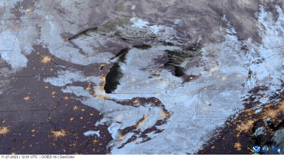
Precipitation is more complicated. Parts of the Great Lakes are likely to be drier than average, while the Ohio Valley has an equal chance of above-, near-, or below-normal precipitation.