This article was originally published on Crafting Your Home. A human contributor also wrote and edited the post.
Bertha may never become a hurricane, but its slow coastal crawl could deliver the kind of miserable, expensive disruption that Gulf Coast families know far too well. For families from Florida to Louisiana, Tropical Storm Bertha is shaping up to be the kind of storm that can ruin an entire week without ever earning a frightening hurricane category. We could see flooded neighborhood streets, vehicles trapped by rising water, closed beaches, canceled work shifts, damaged roofs, and power outages arriving during dangerously hot weather.
Even where the storm causes no major structural damage, it could leave families dealing with spoiled food, missed income, cleanup costs, and days of uncomfortable uncertainty. Bertha strengthened Tuesday morning as it crept closer to the Florida Panhandle. At 10 a.m. CDT, the storm was about 70 miles south-southwest of Panama City, Florida, and 145 miles southeast of Mobile, Alabama. Its maximum sustained winds had increased to 60 mph, according to the National Hurricane Center.
The storm was moving north-northwest at just 3 mph. That sluggish pace is the problem. Bertha is not racing inland and disappearing. It is expected to turn west and crawl near the northern Gulf Coast, potentially exposing coastal communities to several rounds of wind, rough surf, rain, and rising water.
Bertha Is Getting Stronger at the Worst Possible Time
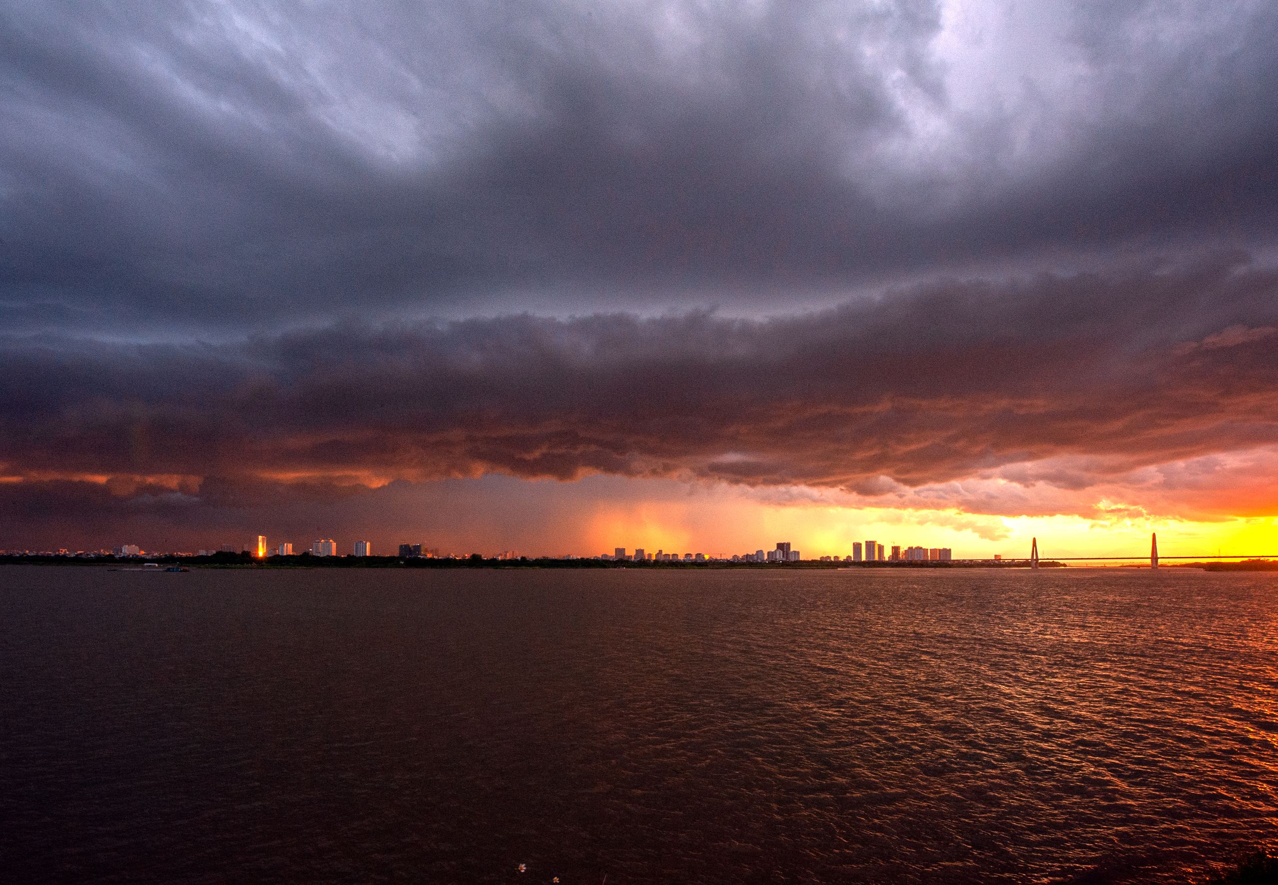
Air Force Hurricane Hunters investigating Bertha found that the storm had become better organized Tuesday morning. Its minimum central pressure dropped to 995 millibars, and sustained winds increased to 60 mph. A NOAA buoy south-southeast of Pensacola recorded sustained winds of 49 mph and a gust of 54 mph. Tropical-storm-force winds extend as far as 90 miles from Bertha’s center. Those numbers matter because many Americans hear “tropical storm” and assume they are dealing with little more than a wet and windy day.
Bertha could prove how misleading that assumption can be. Winds near 60 mph can bring down weakened tree limbs, damage outdoor structures, and interrupt electricity. In heavily wooded neighborhoods, one falling branch can block a road, crush a vehicle, or cut power to hundreds of homes. The storm’s slow movement could prolong those conditions. Families may have to deal with hours of wind-driven rain rather than one quick burst of bad weather.
Gulf Coast Warnings Expand as Bertha Moves North
A tropical storm warning now stretches from the Bay and Gulf County line in Florida to the Terrebonne and Lafourche Parish line in Louisiana. That warning covers vulnerable coastal areas across four states: A tropical storm watch extends westward from the Terrebonne-Lafourche Parish line to the Vermilion-Cameron Parish line. Metropolitan New Orleans, Lake Pontchartrain, and Lake Maurepas are also included in the watch.
A warning means tropical storm conditions are expected within 36 hours. A watch means those conditions are possible within 24 to 48 hours. For residents, that difference can quickly become the difference between having time to move a vehicle, charge a phone, and buy necessary medication or being caught in deteriorating weather with flooded roads.
A Slow Storm Can Create a Long, Miserable Week
Bertha’s forecast does not show a dramatic hurricane making one destructive landfall. Instead, it shows something more drawn out: a disorganized but persistent storm moving close to hundreds of miles of coastline. The National Hurricane Center expects Bertha to turn west-northwest Tuesday and then move west near the northern Gulf Coast through the middle of the week. The storm is forecast to weaken gradually, but weakening does not mean disappearing.
Bertha could continue producing dangerous water conditions after its winds fall below tropical storm strength. Its path also remains uncertain. Forecast models disagree about how much contact Bertha will have with southeastern Louisiana and whether a new center could form offshore. A small shift toward land would increase impacts in populated coastal communities. A shift farther offshore could keep the worst wind and rain over water, but it could also allow Bertha to hold together longer.
Bertha’s Lopsided Shape Makes Impacts Harder to Predict
Bertha is not a neat, symmetrical storm. Its strongest winds and thunderstorms are concentrated mainly south and east of the center. That lopsided shape means the forecast track alone does not tell families what they will experience. One community close to the center could receive limited rain, while another farther away gets hit by repeated squalls and damaging gusts. Strong northeasterly wind shear is pushing thunderstorms away from Bertha’s center.
The same wind shear should prevent major strengthening, but it also spreads the storm’s effects unevenly. This creates a dangerous communication problem. People may look outside, see a few clouds, and assume the threat has passed. Hours later, a heavy rain band or powerful coastal squall could arrive. We should not wait for a dramatic eyewall or a hurricane label. Bertha does not need either one to flood a road, knock down a tree, or turn a beach into a deadly trap.
Rain Could Overwhelm Urban Drainage
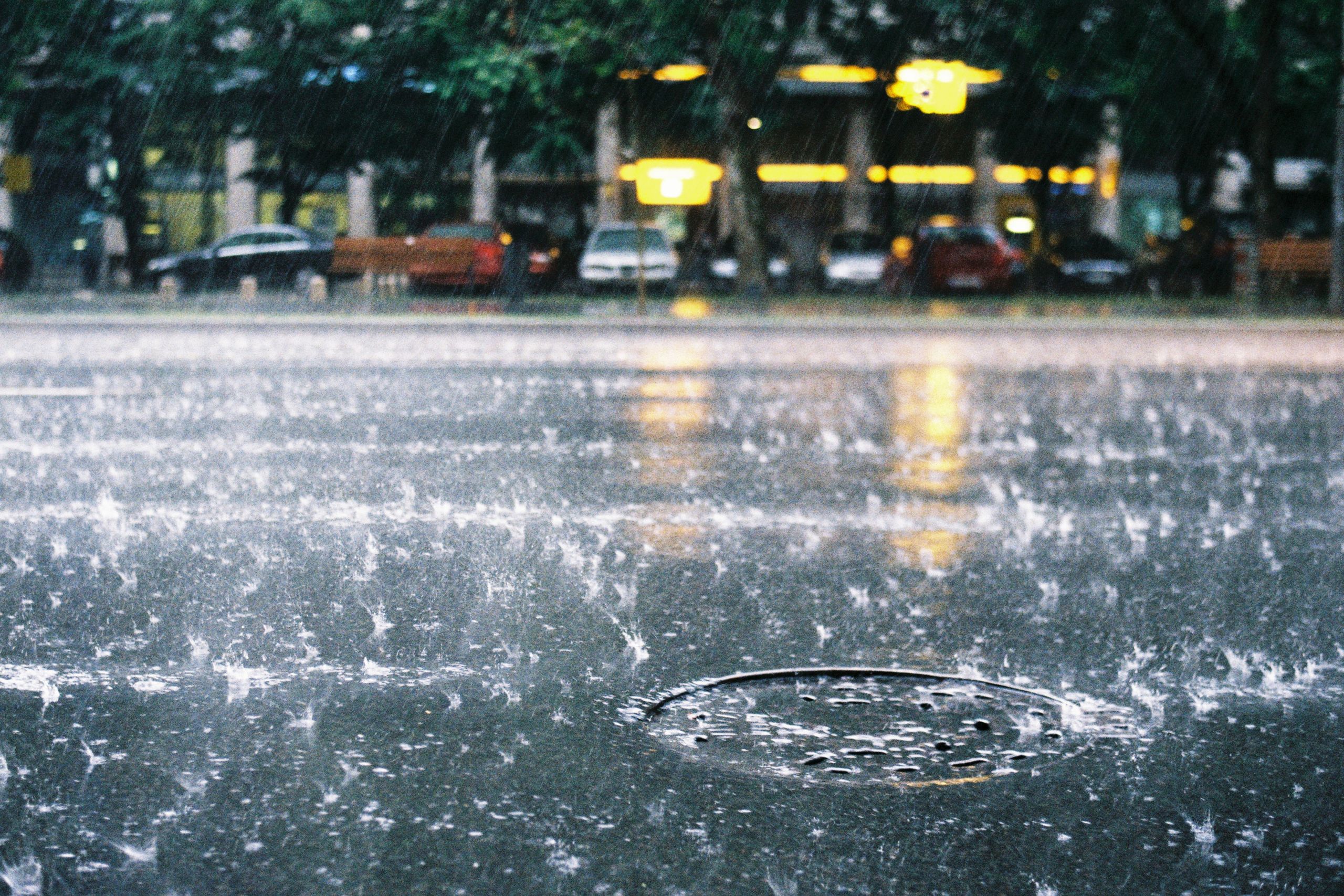
Bertha is expected to produce two to four inches of rain from western Florida through southern Louisiana by Thursday. Isolated locations could receive approximately six inches. The overall rainfall forecast may not look extreme, but tropical downpours can fall faster than drainage systems can remove the water. The National Hurricane Center’s forecast discussion warns that isolated flash flooding is possible, especially in urban areas. Flooding can develop quickly around clogged drains, underpasses, construction zones, and low-lying intersections.
Morning commutes can become dangerous before drivers realize that a familiar road is underwater. Parents may also face school or childcare disruptions. Hourly workers could lose income if businesses close or roads become impassable. Delivery drivers, construction workers, restaurant employees, and coastal tourism workers are especially vulnerable to sudden schedule changes. Bertha does not need to produce catastrophic flooding to hurt household budgets. One missed shift, one towing bill, or one damaged appliance can be enough to put a family under additional pressure.
Power Outages Would Be Worse Because the Heat Is Not Leaving
The most punishing part of Bertha may be the heat surrounding it. The National Weather Service in New Orleans says heat index values could reach 112 degrees. The agency also expects major to extreme heat risk to continue as Bertha approaches because the storm’s lopsided structure may fail to deliver widespread clouds or cooling rain. Southeastern Mississippi could experience heat index values around 108 degrees, according to the National Weather Service in Mobile and Pensacola. Parts of southwestern Alabama may feel like 100 to 105 degrees.
If Bertha knocks out power, air conditioning could disappear when families need it most. Homes can become dangerously hot within hours, especially for older adults, babies, people with medical conditions, and anyone living in poorly ventilated housing. Power loss also means refrigerators stop cooling, medical devices may require backup electricity, and phones eventually run out of charge. What begins as a weather inconvenience can become a health emergency during extreme heat.
Beaches Could Look Calm and Still Be Deadly
Bertha is generating swells that are already affecting parts of Florida. Those swells will spread westward across the northern Gulf Coast and create life-threatening surf and rip currents. Near Pensacola, seas could reach 7 to 10 feet Tuesday night, with occasional waves around 13 feet. On Wednesday, seas could build to 8 to 11 feet, occasionally reaching 14 feet, according to the official marine forecast.
These conditions threaten swimmers, boaters, and anyone who ventures onto piers or jetties. Rip currents can remain dangerous even when rain has stopped, and the sun appears between clouds. The storm could also disrupt beach vacations at the height of summer. Families who spent months saving for Gulf Coast trips may encounter closed beaches, dangerous water, canceled excursions, and miserable weather.
Bertha Could Carry the Disruption Toward Texas
Bertha is forecast to approach southeastern Louisiana Wednesday and continue westward Thursday. By Friday, the weakening system could move toward the upper Texas coast. Forecasters expect Bertha to drop below tropical storm strength before reaching Texas, but Louisiana and Texas residents should continue monitoring the system. Additional watches or warnings may be required if the storm remains stronger or better organized than expected.
The National Weather Service in Lake Charles currently expects limited rainfall across much of southwestern Louisiana and southeastern Texas. Most locations may receive less than an inch through Saturday, although localized flash flooding remains possible. That forecast could change if Bertha’s track shifts or its thunderstorms reorganize.
Gulf Coast Families Should Prepare for Disruption Now
We do not need to prepare for the worst imaginable disaster. We need to prepare for the frustrating, dangerous, and expensive problems Bertha is capable of causing. Residents in the affected areas should charge phones and backup batteries, secure outdoor furniture, clear nearby drains, and move vehicles away from flood-prone streets. Essential medication, drinking water, and flashlights should be easy to reach.
Families should also consider what they would do if electricity failed during extreme heat. Checking on elderly neighbors and relatives could become especially important. Bertha may remain below hurricane strength, but that offers little comfort to someone standing in a flooded home, throwing away spoiled groceries or trying to sleep without air conditioning in triple-digit heat. The storm’s category may sound modest. Its consequences may feel like anything but.
If you like what you just read, then subscribe to our newsletter and follow us on social media.