

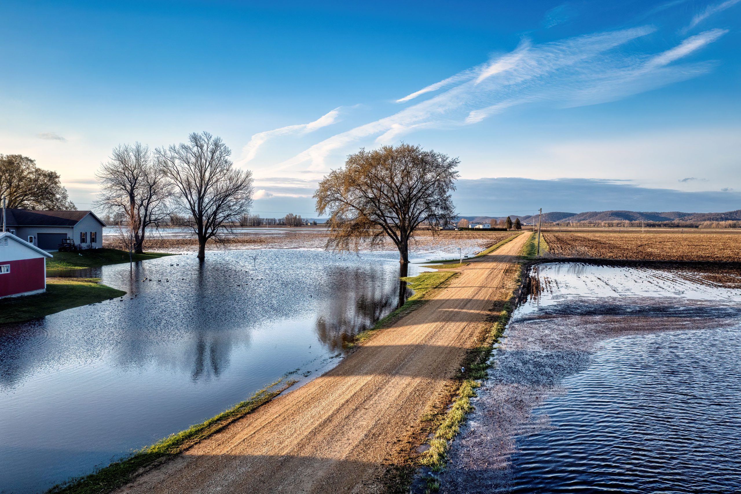
From coastal flooding to inland strain, a slow-building shift is reshaping daily life across the state.
There is a kind of change that doesn’t feel dramatic at first.
It doesn’t arrive with alarms or breaking news banners. Instead, it slips into everyday life quietly: in slightly higher bills, slower-draining streets after storms, and insurance notices that don’t quite match last year’s expectations.
Across North Carolina in 2026, that kind of change is becoming more noticeable.
Across North Carolina in 2026, that change is becoming more noticeable. From the Outer Banks to fast-growing cities like Raleigh, Charlotte, and Wilmington, residents are increasingly experiencing the combined effects of climate pressure, rapid development, and infrastructure systems trying to keep pace with both.
What makes this moment important is not a single event. It is the accumulation of small signals, each manageable on its own, but together forming a larger pattern that is reshaping how the state plans, builds, and lives.
What NOAA and State Environmental Data Are Showing About North Carolina
North Carolina’s coastline has long been monitored for erosion and storm impact, and recent data from the National Oceanic and Atmospheric Administration (NOAA) show a steady rise in sea levels along the Atlantic coast, contributing to more frequent coastal flooding during high tides and storm surges.
The North Carolina Department of Environmental Quality (NC DEQ) has also reported rising flood risks in both coastal and inland river basins, particularly during heavy rainfall events that overwhelm older drainage systems.
At the same time, state climate assessments highlight stronger storms, longer dry spells between rainfall, and increased pressure on water management systems.
FEMA flood maps have been updated across multiple North Carolina counties in recent years, changing insurance requirements and reshaping how new construction is planned in vulnerable areas.
Together, these findings point to a state where water, too much of it, too quickly, is becoming a defining infrastructure challenge of the decade.
How These Changes Are Showing Up in North Carolina Communities
The impact is not limited to the coastline, even though coastal counties like New Hanover, Dare, and Carteret are among the most exposed.
In Wilmington, residents are increasingly familiar with tidal flooding during certain weather conditions, where roads can become temporarily impassable even without major storms. In the Outer Banks, erosion and storm recovery continue to shape long-term planning decisions.
But inland cities are feeling pressure too.

Image Credits:usepagov, Public domain, via Wikimedia Commons
In Raleigh and Durham, rapid population growth is combining with heavier rainfall events, placing strain on drainage systems designed for older weather patterns. Charlotte, one of the fastest-growing metro areas in the Southeast, is also experiencing rising infrastructure demand as housing expansion and weather variability stress transportation and utilities.
Insurance is becoming a major focus across the state. Homeowners in higher-risk zones are seeing changes in availability and pricing, particularly in coastal and flood-prone areas. Even inland residents are beginning to feel ripple effects as insurers reassess regional risk exposure.
What North Carolina Residents May Start Noticing Next
For many people, the most immediate effects are financial rather than dramatic.
Home insurance premiums are becoming less predictable in coastal counties. Property buyers are increasingly asking about flood zones before making decisions. Municipalities are investing more in stormwater upgrades and road elevation projects.
Transportation disruptions after heavy rainfall are also becoming more common in certain regions, particularly where older infrastructure meets newer suburban expansion.
At the same time, local governments are being forced to make difficult planning decisions, balancing growth with resilience, and short-term affordability with long-term risk reduction.
For residents, this means everyday life is becoming more tied to environmental conditions in ways that were less visible a decade ago.
The Human Side of a Gradual Shift
What makes North Carolina’s situation especially compelling is how quietly it unfolds.
There is no single defining moment where everything changes. Instead, there are hundreds of small ones.
A neighborhood street floods more often than it used to. A homeowner compares insurance quotes for the first time in years. A city council debates whether to upgrade drainage systems or delay due to budget constraints.
At the same time, North Carolina continues to attract new residents drawn by job growth, education opportunities, and a strong quality of life. That growth adds another layer of complexity: more people building homes, more infrastructure needed, and more pressure on systems already adapting to environmental stress.
It creates a dual reality: a state that is growing quickly while also needing to prepare for slower, longer-term environmental change.
What Officials and Data Sources Are Emphasizing
State and federal agencies continue to focus on planning and resilience rather than short-term disruption.
NOAA’s coastal projections continue to show long-term sea-level rise along the Atlantic seaboard, reinforcing the need for adaptive infrastructure in vulnerable counties.
The North Carolina Department of Environmental Quality continues to highlight flood risk management, stormwater improvements, and coastal resilience planning as key priorities.
FEMA flood map updates are also playing a growing role in shaping building codes and insurance requirements across multiple counties.
Across these agencies, the message remains consistent: environmental conditions are changing gradually, and planning needs to keep pace with that reality.
What to Watch in North Carolina Moving Forward
Several indicators will help shape how this story develops:
* Changes in flood insurance availability in coastal counties
* Updates to FEMA flood zone maps across the state
* Stormwater and drainage infrastructure investments in growing cities
* Frequency of heavy rainfall and localized flooding events
* Housing demand shifts between coastal and inland regions
Each of these signals reflects a broader transition already underway, one that is reshaping how North Carolina grows and adapts.
North Carolina’s story in 2026 is not defined by sudden disruption. It is defined by accumulation: small, repeated changes that together signal a state in transition. For residents, the question is increasingly not whether change is coming, but how quickly everyday life will continue to adjust around it.


