10 Unexpectedly Fascinating Facts About Rain (and Why It Matters More Than We Think)

Rain is often treated as a minor inconvenience, an umbrella problem, a traffic problem, a “bad hair day” problem. Yet precipitation is one of the most powerful forces shaping ecosystems, economies, infrastructure, and even human history.

When we look closely, rain turns out to be a precision-controlled atmospheric event with complex physics, chemistry, and planetary-scale consequences.

Below, we explore ten deeply interesting, science-backed facts about rain, plus practical context that makes each one more meaningful than a simple “fun fact.”

Cloud Types That Predict Rainfall (and the Kind of Rain We’ll Get)

Photo Credit: stux/pixabay
Clouds are not just “weather décor.” Their altitude, thickness, and structure reveal what the atmosphere is doing right now, and what it is about to do next.

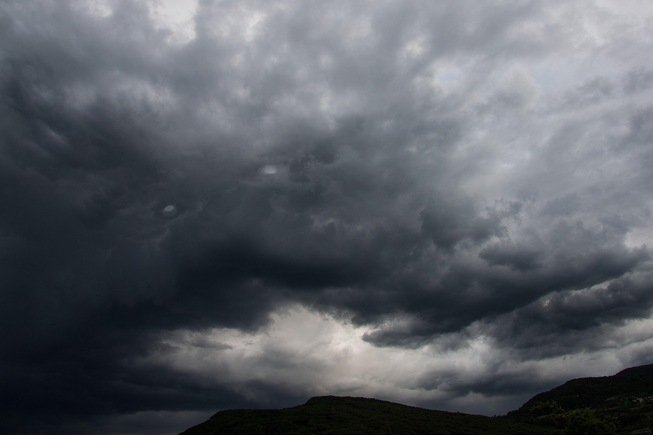
Cumulonimbus: Thunderstorm Engines

Cumulonimbus clouds are towering, vertically developed clouds capable of producing:
  • Heavy rain
  • Lightning and thunder
  • Hail
  • Tornadoes and damaging winds (in severe systems)
What we notice: a rising “stacked” appearance, often with an anvil-shaped top where the cloud hits the tropopause and spreads outward.
What it means: fast uplift, unstable air, and rapid storm growth.

Nimbostratus: Long-Lasting, Soaking Rain

Nimbostratus clouds are broad, uniform, and gray—like a low ceiling that seems to swallow the sky. They typically produce:
  • Steady rain
  • Drizzle
  • Extended wet periods lasting hours
What it means: widespread moisture and gradual lifting (often from warm fronts), producing a “soaker” instead of a dramatic storm.

Cirrus: Beautiful… and Often Misleading

Cirrus clouds are high, thin, icy streaks that usually do not produce ground-level rain. In many cases, any precipitation falling from them evaporates before reaching the surface.
What it means: moisture aloft, frequently ahead of a larger storm system, sometimes a distant hint of incoming weather changes.

Virga- When It Rains but the Ground Stays Dry

There are times when radar shows rain, and the clouds visibly “trail” precipitation, yet nothing reaches the surface. This phenomenon is called virga.

Why Virga Happens

Virga forms when rain falls into a lower layer of warm or very dry air, causing droplets to evaporate before reaching the ground.
We can often see virga as faint streaks hanging beneath clouds, especially in:
  • Deserts and semi-arid regions
  • High-elevation environments
  • Hot inland air masses

Why Virga Matters

Virga is not merely a curiosity; it influences real weather conditions:
  • Cooling the air below the cloud through evaporation
  • Creating strong downdrafts (sinking air)
  • Increasing the risk of gusty outflow winds and sudden wind shifts
In aviation and wildfire settings, virga-driven wind behavior can become operationally important.

Earth’s Rain Cycle Is Ancient—Potentially Billions of Years Old

Rain is not a modern feature of Earth. The hydrologic cycle, evaporation, condensation, and precipitation, has likely been active for an almost incomprehensibly long time.

The Core Idea

The water on Earth continually recycles through:
  • Oceans and lakes
  • Atmosphere
  • Land surfaces
  • Rivers and groundwater
This means the rain falling today may include water molecules that have been circulating since early Earth.

Why That Changes Our Perspective

When we experience a rainstorm, we are witnessing a process that:
  • regulates global temperature
  • supports agriculture and ecosystems
  • shapes landscapes through erosion and deposition
  • drives freshwater availability for civilizations
Rain is not just weather—it is planetary maintenance.

Rainfall Extremes Are So Dramatic They Seem Unreal

Rainfall is not evenly distributed across the Earth. Some regions receive so little precipitation that they function as deserts, even when covered in ice, while others experience rainfall totals that can overwhelm rivers, soil, and infrastructure.

Places With Almost No Rain

Antarctica is often classified as a desert due to extremely low precipitation. Certain areas, such as polar dry valleys, can go for exceptionally long periods with minimal liquid precipitation.

Places With Astonishing Rainfall

Some locations experience intense seasonal rainfall due to:
  • monsoon circulation
  • orographic uplift (mountain-driven rainfall)
  • persistent ocean moisture supply

Why Extremes Matter

Rainfall extremes determine:
  • drought risk
  • flood potential
  • agricultural patterns
  • water security
  • urban engineering needs
Our planning succeeds or fails based on how accurately we understand precipitation patterns, especially as they shift.

Running vs Walking in the Rain: There Really Is an Optimal Strategy
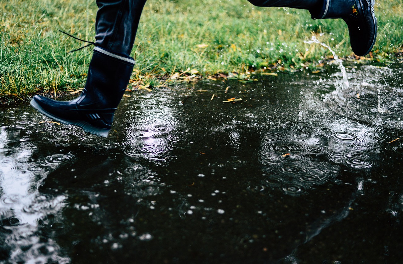
Photo Credit: wal_172619/Pixabay
The question sounds like a casual debate, but it has a genuine physics basis: How do we minimize the amount we get wet over a fixed distance?

The Main Principle

If rain is falling straight down with little wind:
  • Spending less time outside reduces total exposure.
  • Therefore, moving faster usually helps.

When Wind Changes Everything

  • Faster movement reduces time.
  • but increases the “front-facing” rain we run into
This turns the situation into an optimization problem where there can be a best speed, depending on:
  • wind direction
  • wind speed
  • body shape and surface area
  • clothing absorption and fabric behavior
Practical takeaway: if rain is mostly vertical, we benefit from speed. If the wind is strong, we benefit from minimizing frontal exposure and choosing smarter cover

“Wrong Rain” Is a Warning Signal for Climate Instability

Rain has always been seasonal in many regions. What alarms scientists and planners is not just more or less rain, but rain that arrives at the wrong time, with the wrong intensity, in the wrong place.

What “Wrong Rain” Looks Like

  • Sudden downpours replace gentle rainy seasons.
  • Rainfall during periods historically characterized by drought.
  • Extreme storms are separated by long dry stretches.
  • Flooding rains are arriving after wildfire seasons.

Why It Matters

When rainfall becomes less predictable:
  • crops fail or lose yield stability
  • Reservoirs become harder to manage.
  • Floods intensify because dry soil absorbs less water.
  • Drainage systems designed for older patterns get overwhelmed.
Rain is not only about total inches per year. Timing and intensity often matter more than yearly averages.
.

Hawaii’s Rainfall Is Not “One Weather”—It’s Many Microclimates

Hawaii is often cited as the rainiest U.S. state, but the most surprising part is not the total—it’s the variation across short distances.

Why Hawaii Gets So Much Rain

Hawaii’s rainfall patterns are shaped by:
  • warm ocean moisture
  • prevailing trade winds
  • steep mountain terrain
As moist air rises over mountains, it cools, condenses, and produces heavy rain—especially on windward slopes.

The Microclimate Reality

On many islands:
  • One side can be lush and rainy.
  • The other can be dry and sunny.
  • Both can be separated by a relatively short drive.
This kind of rapid change demonstrates how terrain and wind direction can dominate rainfall outcomes.

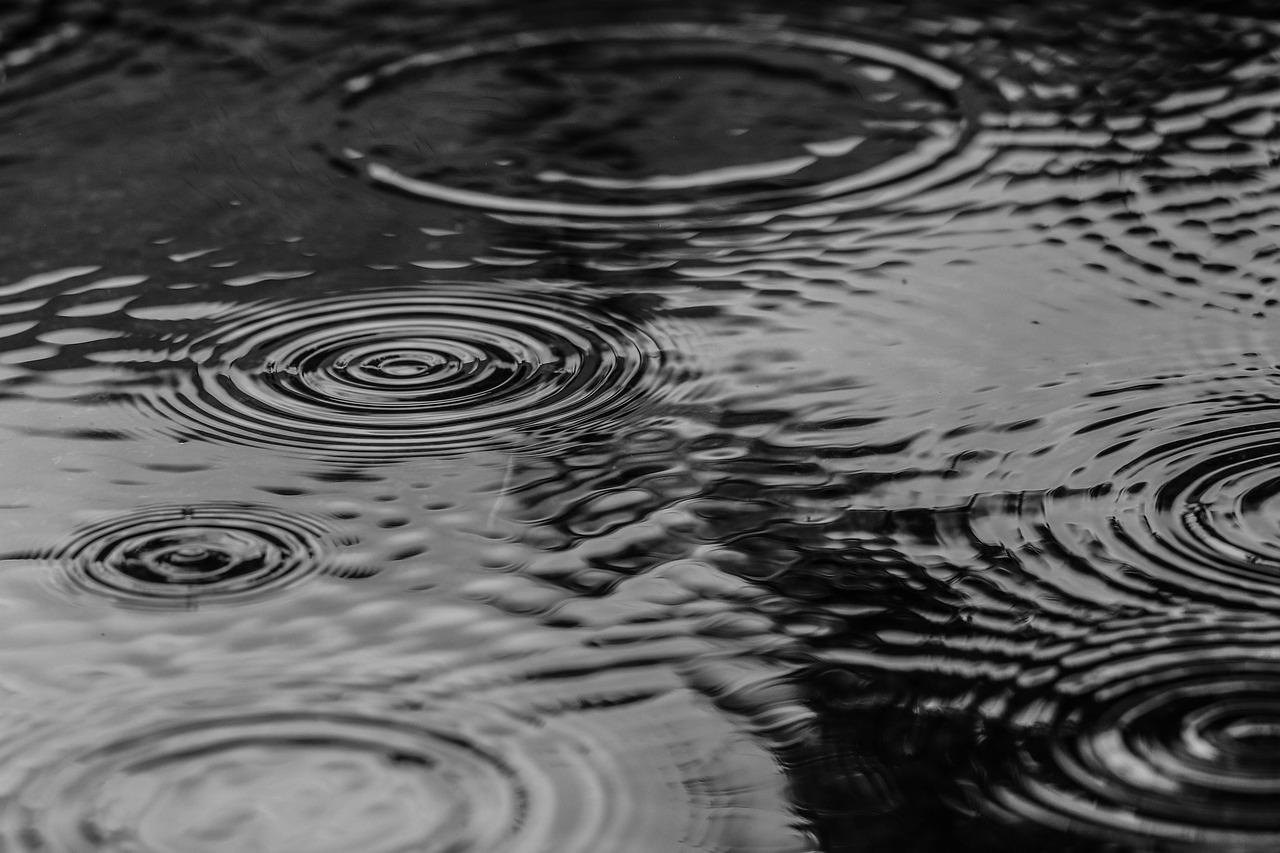
Raindrops Are Not Teardrops; They’re Aerodynamic Shapes That Break Apart

Many people imagine a raindrop as a pointed teardrop. In reality, falling raindrops behave differently.

What Raindrops Look Like in Free Fall

  • Very small droplets: nearly spherical (surface tension dominates)
  • Medium raindrops: flattened bottom and rounded top (air resistance reshapes them)
  • Very large drops: become unstable and break into smaller drops
Large raindrops cannot grow indefinitely because the airflow forces exceed the surface tension that holds them together.

Why This Matters

Raindrop size affects:
  • How hard does the rain hit the ground
  • How efficiently rain scatters light (visibility)
  • How radar systems interpret precipitation intensity
  • splash erosion and soil disruption
In other words, the shape and stability of raindrops influence both meteorology and ground-level impacts.

Acid Rain Is Real Chemistry; Not a Sci-Fi Threat

Acid rain is not “burn-your-skin rain,” but it is a serious environmental process driven largely by industrial emissions.

The Chemistry in Simple Terms

When fossil fuels burn, they can release:
  • sulfur dioxide (SO₂)
  • nitrogen oxides (NOₓ)
In the atmosphere, these gases can transform into acids such as:
  • sulfuric acid compounds
  • nitric acid compounds
These then return to Earth via precipitation or dry deposition.

What Acid Rain Damages Over Time

  • lakes and streams (aquatic life stress)
  • soil chemistry (nutrient imbalances)
  • forests (growth reduction and vulnerability)
  • buildings and monuments (accelerated weathering)
Acid rain demonstrates that rainfall is not always “just water”; it can be a chemical delivery system influenced by the air masses it travels through.

The Smell of Rain Has a Name- Petrichor (and It Has Multiple Sources)

Photo Credit: Photorama/Pixabay
That clean, earthy smell after rain is not imagination. It is a real phenomenon known as petrichor, and it often becomes strongest after the first rainfall following a dry period.

Where the Scent Comes From

Several processes contribute:
  • Plant oils are released into dry soil and surfaces.
  • Soil bacteria compounds are becoming airborne when rain hits
  • Ozone-like sharp notes sometimes occur near storms (especially with lightning-related atmospheric effects)

Why We Notice It So Strongly

When raindrops strike porous ground, they can trap and release tiny air bubbles that rise and burst, creating aerosols that carry scent molecules into the air.
That is why the smell can feel sudden, intense, and emotionally vivid.

Conclusion

Rain reshapes landscapes, regulates climate, powers agriculture, influences disasters, and carries chemical signatures of the atmosphere it fell through.

When we treat rainfall as a simple inconvenience, we miss what it truly is: a precision outcome of atmospheric physics and Earth’s most essential life-support cycle.

If we want to understand our environment and plan for what comes next, we have to take rain seriously, down to the droplets.

Author

Similar Posts

Leave a Reply

Your email address will not be published. Required fields are marked *